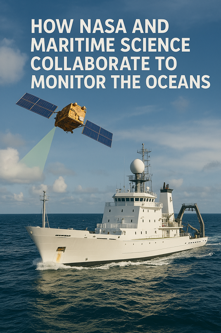
Discover how NASA and maritime science work together to monitor ocean health, track climate change, and enhance global maritime operations using cutting-edge technologies.
Space Meets Sea Science
Did you know that NASA, the agency best known for sending astronauts into space, is also one of the world’s leaders in monitoring the Earth’s oceans? This might surprise maritime students and professionals alike, but it’s true: NASA’s satellite technology plays a crucial role in understanding ocean dynamics, climate change, and maritime safety. This collaboration between space science and maritime disciplines represents a fusion of high-tech innovation and oceanic expertise.

Key Concepts: NASA’s Role in Ocean Monitoring
What is Ocean Monitoring?
Ocean monitoring refers to the systematic observation of physical, chemical, and biological characteristics of the ocean. It includes data on:
- Sea surface temperature (SST)
- Ocean salinity
- Sea level rise
- Ocean currents
- Marine ecosystems
NASA’s Ocean-Focused Missions
NASA leverages a range of Earth-observing satellites to collect critical oceanic data, including:
- Jason-3 and Sentinel-6: Monitor global sea level changes.
- MODIS (aboard Aqua and Terra): Observes ocean color to track phytoplankton and chlorophyll concentrations.
- GRACE-FO: Measures changes in ocean mass and freshwater flux.
These tools provide data vital to maritime route planning, fisheries management, and climate research.
Applications & Real-World Use Cases
1. Supporting Maritime Navigation
NASA data supports maritime route optimization by providing near-real-time updates on sea surface height, currents, and temperatures. This helps ship officers plan safer and more fuel-efficient voyages.
2. Monitoring Climate Change
Maritime researchers use NASA satellite data to assess the impact of melting glaciers and polar ice on global sea levels. Understanding this dynamic is key to safeguarding coastal infrastructure and port operations.
3. Assisting Search and Rescue Operations
By tracking ocean currents and weather systems, maritime authorities can improve the accuracy of search and rescue missions.
4. Enhancing Marine Ecosystem Research
Through partnerships with oceanographic institutes, NASA contributes to the study of coral reef health, harmful algal blooms, and marine biodiversity.
Latest Trends & Future Outlook
Enhanced Satellite Capabilities
NASA is developing more advanced sensors and satellite systems. The Surface Water and Ocean Topography (SWOT) mission, launched in collaboration with CNES (France), will revolutionize our ability to map oceans and lakes with unprecedented resolution.
Maritime-AI Integration
Artificial Intelligence (AI) is being used to analyze the vast amount of ocean data collected. This helps maritime professionals anticipate trends such as ocean acidification or predict storm surges.
International Collaborations
NASA partners with organizations like NOAA, ESA, and the IMO to share data, tools, and research to enhance global maritime governance and environmental monitoring.
Conclusion: Bridging Space Science and Maritime Excellence
NASA’s contributions to maritime science extend far beyond the atmosphere. By merging satellite technology with oceanographic research, the collaboration empowers maritime students, ship officers, and shipping companies to navigate smarter, safer, and more sustainably.
As ocean conditions continue to evolve under the pressures of climate change and human activity, the synergy between NASA and maritime science will be more important than ever.
Learn more about maritime climate tools and ocean monitoring by visiting NASA’s Earth Observatory or collaborating with local maritime research institutions.
FAQs
Q: How does NASA collect ocean data?
A: NASA uses Earth-observing satellites equipped with altimeters, radiometers, and spectroradiometers to monitor sea level, temperature, salinity, and ocean color.
Q: Is NASA data available for public maritime use?
A: Yes, NASA provides open-access datasets via platforms like the NASA OceanColor Web and Physical Oceanography Distributed Active Archive Center (PO.DAAC).
Q: What is SWOT, and why is it important?
A: SWOT is a satellite mission aimed at measuring surface water and ocean topography. It will enhance our understanding of ocean circulation and its effects on climate and marine operations.
References & Further Reading
- NASA Earth Observatory
- NASA Physical Oceanography DAAC
- National Oceanic and Atmospheric Administration (NOAA)
- Surface Water and Ocean Topography (SWOT) Mission

