
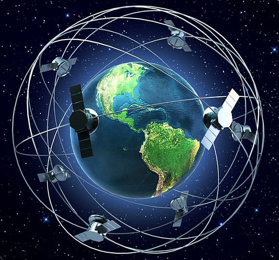
GNSS works by using a network of satellites in orbit around the Earth to transmit signals to a GNSS receiver on the ground. The receiver uses these signals to calculate its location and velocity with high accuracy. GNSS technology has a wide range of applications, including navigation for ships, aircraft, and land vehicles, surveying, mapping, and geolocation for mobile devices. GNSS has revolutionized navigation and has become an essential tool for many industries. Its precision and reliability have improved safety and efficiency in transportation, helped with disaster response, and enabled new applications such as precision agriculture and autonomous vehicles. As GNSS technology continues to improve, it will likely play an increasingly important role in our daily lives.

Global Navigation Satellite Systems (GNSS) for ships navigation
Global Navigation Satellite Systems (GNSS) are a critical tool for ships’ navigation. They provide highly accurate positioning and timing information that is essential for safe and efficient ship operations. The most well-known GNSS is the Global Positioning System (GPS) operated by the United States government.
Ship navigation using GNSS involves the use of a GNSS receiver on board the vessel that receives signals from the satellite network. The receiver uses these signals to calculate the vessel’s position, course, and speed with high accuracy. GNSS technology enables navigation in all weather conditions, day or night, and in remote areas where traditional navigation aids may not be available.
GNSS is used in conjunction with other navigation aids, including electronic chart display and information systems (ECDIS), radar, and automatic identification systems (AIS), to ensure safe navigation. GNSS technology has significantly improved the safety and efficiency of ship operations by providing accurate and reliable positioning information to the vessel’s crew, enabling them to navigate with confidence and avoid hazards.
Despite the benefits of GNSS technology, it is important to recognize that it is not infallible, and its accuracy can be affected by various factors such as atmospheric conditions, satellite geometry, and interference. Navigation officers must be trained in the use of GNSS and understand its limitations and potential sources of error. They must also have a backup plan in case of GNSS failure, such as using traditional navigation aids like celestial navigation.
In summary, GNSS is a critical tool for ships’ navigation, providing accurate and reliable positioning and timing information that improves the safety and efficiency of ship operations. Its use in conjunction with other navigation aids enables ships to navigate with confidence and avoid hazards, but it is important to recognize its limitations and potential sources of error.
One thought on “Global Navigation Satellite Systems (GNSS) for Ships”