

09/30/2025
The Port of Rotterdam & Dutch Navy Hydrographic Service launch a world-first digital nautical chart with accurate berth data, enhancing safety, efficiency, and port call optimisation for the entire maritime chain.
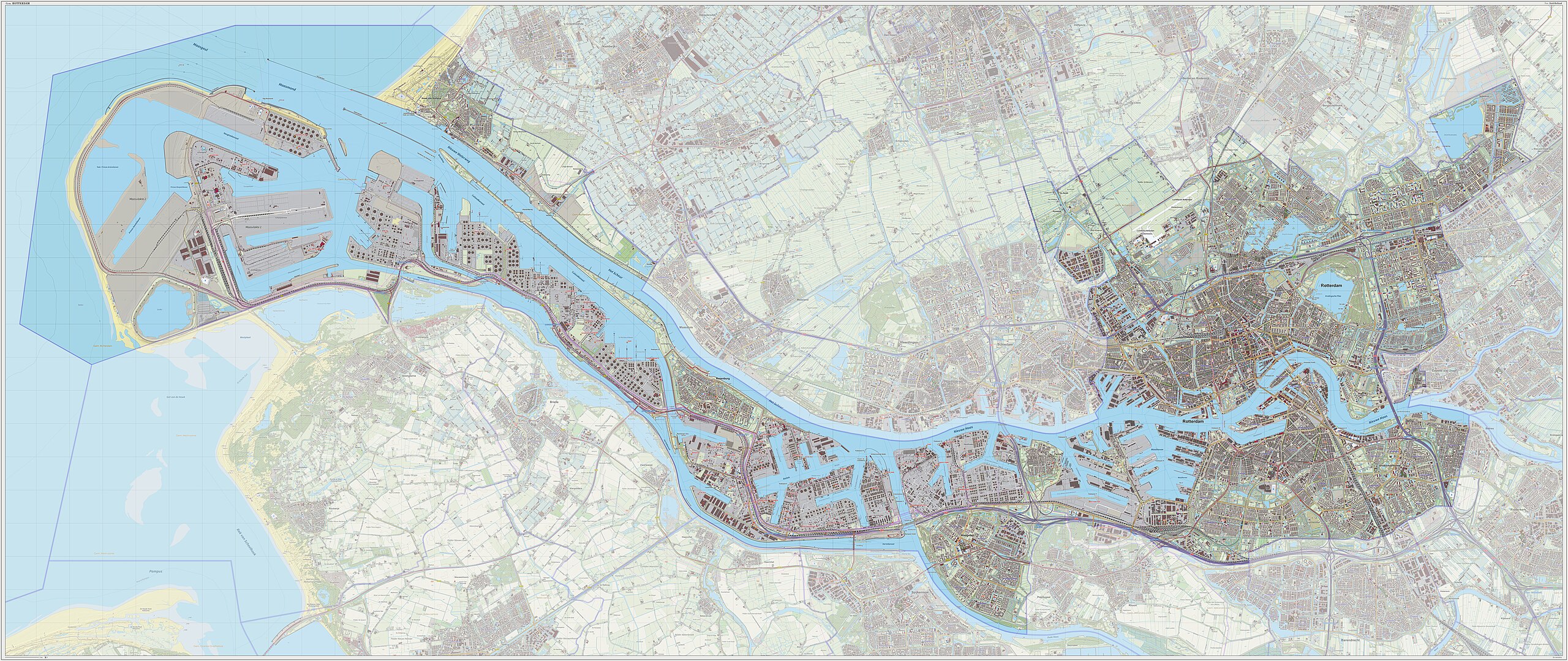
In a global first for the maritime industry, the Port of Rotterdam Authority, in collaboration with the Royal Netherlands Navy Hydrographic Service, has launched a pioneering digital connection that integrates highly accurate terminal and berth information directly into official Electronic Navigational Charts (ENCs).
This breakthrough is a cornerstone of the port’s ongoing Port Call Optimisation programme, ensuring vessel visits from departure to departure are safer, more efficient, and predictable. By creating a single, reliable source of truth for port infrastructure location, the initiative eliminates confusion and streamlines operations for all parties in the maritime chain.
From Confusing Names to Unique Global Location Numbers (GLNs)
Historically, location data for terminals and berths was based on names, which often changed with ownership, leading to potential errors and miscommunication. The new system solves this by assigning unique Global Location Numbers (GLNs) – standard in the logistics sector – to every berth and terminal.
These GLNs are now integrated into the port’s core systems: the Harbour Master Management System (HaMIS) and the Port Community System (Portbase). Because the Harbour Master uses this data for daily notifications, it is rigorously maintained and updated twice daily, guaranteeing high reliability.
A Crucial Link for Safe Navigation and ECDIS
For captains, safe navigation depends on precise data within their Electronic Chart Display and Information System (ECDIS), which uses official ENCs published exclusively by national hydrographic services.
“Previously, if a port authority’s data was inaccurate, hydrographic services could not include berth details in ENCs, creating a blind spot for navigators,” explained a spokesperson. “Our collaboration ensures the Dutch Hydrographic Service receives standardised, certified data, which they can confidently publish. This directly supports compliance with IMO Resolution A.893(21) on voyage planning and makes the Port of Rotterdam one of the world’s safest and most transparent for navigation.”
Single Point of Truth: Benefits Across the Maritime Chain
The accurate data creates a “single point of truth” that benefits diverse port users:
-
Shippers & Charterers: They can now access validated location data via an API connection to Portbase, automatically matching ships to suitable berths and ensuring compliance with “safe port and berth” clauses in contracts.
-
Pilots & Linesmen: Nautical service providers use the same standardized data as captains, eliminating interpretation differences. Linesmen can pre-plan mooring configurations with precision.
-
Port Authority: Operational efficiency is significantly increased, reducing delays and miscommunication.
A Scalable, Global Call to Action
The Port of Rotterdam Authority is already looking ahead, planning to integrate standardized data on water depths and berth restrictions. “With these three datasets, we can assess a ship’s suitability for a Rotterdam berth in 99% of cases,” the Authority stated.
They are also issuing a call to action for other port authorities worldwide to adopt this model. “The solution is highly scalable and globally applicable. By sharing standardized location data with their national hydrographic services, ports everywhere can enhance safety and efficiency for the entire shipping industry,” the Authority concluded.
This digital nautical chart service marks a significant leap towards a fully integrated, data-driven maritime future, with the Port of Rotterdam leading the way.
thx
This was really well done. I can tell a lot of thought went into making it clear and user-friendly. Keep up the good work!