
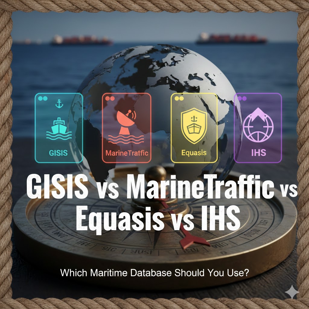
Compare GISIS, MarineTraffic, Equasis, and IHS to find which maritime database fits ship tracking, compliance, port records, ownership, PSC data, and analytics needs.
Introduction
In today’s digital maritime world, vessels no longer sail as anonymous steel structures crossing oceans unnoticed. Every voyage, AIS signal, port call, detention, casualty, bunker delivery, owner change, and pollution entry is now captured through specialized maritime databases. For cadets, port officers, ship managers, insurers, charterers, and compliance auditors, understanding which database to use is not optional—it is a professional necessity. Yet confusion persists, especially among students and newly appointed deck or engine officers: Is MarineTraffic enough? Why do port state control inspectors rely on Equasis? Why do classification societies and brokers turn to IHS Markit? And what exactly is GISIS’s role if MarineTraffic already shows ship positions?
This article explores these four global platforms—IMO GISIS, MarineTraffic, Equasis, and IHS Markit (now S&P Global Market Intelligence, Maritime & Trade Division)—and offers a clear, humanized comparison to help you choose the right tool for operational safety, tracking, compliance, and commercial decision-making.
Why This Topic Matters for Maritime Operations
Ship data has become the backbone of maritime trade transparency. Behind every port clearance, insurance renewal, SOLAS certificate verification, or IMO inspection lies structured digital information. Without reliable access to updated vessel databases, maritime safety collapses into guesswork.
GISIS is used by flag administrations and IMO committees to monitor global compliance with conventions such as MARPOL, SOLAS, STCW, and the Ballast Water Management Convention. MarineTraffic, meanwhile, is every port agent’s live radar, essential for pilot dispatching and berth allocation. Equasis is the port state control world’s “background check” tool, showing owners, managers, classification records, detentions, and safety history. IHS goes even deeper: it holds the original IMO number system and authoritative fleet intelligence used by banks, shipyards, chartering houses, and underwriting teams.
The modern maritime sector does not choose one database; it navigates between them depending on the question being asked. If the question is Where is the ship now? MarineTraffic answers. If the question is Who owns this ship and what are its PSC deficiencies? Equasis responds. If the question is Is this vessel compliant with IMO environmental reporting obligations? GISIS becomes key. If the question is How many Aframax tankers were delivered post-2020 with scrubbers installed? IHS is the only authoritative answer.
As maritime digitalization accelerates under IMO GHG rules, Fit-for-55 policies, and EU ETS carbon pricing, knowing how to extract correct information is as important as navigating a ship at sea. Accuracy, reliability, and official validation soon become more significant than free public access or colorful dashboards.
Understanding the Four Databases: What Each One Really Does
IMO GISIS (Global Integrated Shipping Information System)
GISIS is fundamentally regulatory, not commercial. Hosted by the International Maritime Organization, it collects and disseminates compliance-related data submitted by Member States. It is the digital memory of the IMO system.
Its modules include:
- casualty investigations submitted by flag States
- MARPOL violations and pollution event reports
- Port State Control summary data
- STCW white list implementation records
- ballast water treatment reporting
- recognized organizations and ship registries
- piracy incident data
- marine security notifications
- ship recycling facilities and certifications
Where MarineTraffic shows a dot moving near Singapore, GISIS tells you whether that ship holds a valid IOPP certificate, whether its last PSC inspection revealed MARPOL Annex VI violations, or whether it was involved in a collision under official inquiry.
GISIS speaks the language of administrations. It is trusted because it is not interpretive: it shows what States submit, according to IMO legal instruments. When disputes arise—detention appeals, pollution fines, recycling compliance—GISIS becomes the reference point, not social media or real-time AIS maps.
Official Source:
https://gisis.imo.org
MarineTraffic
Where GISIS is the legal archive, MarineTraffic is the ocean’s heartbeat. Powered by AIS signals, satellites, and terrestrial stations, it shows:
- exact vessel position
- speed, course, draught, heading
- estimated time of arrival (ETA)
- live port congestion
- berth occupancy
- pilotage patterns
MarineTraffic does not ask whether a vessel has valid MARPOL documentation—it only tracks movement. But its importance cannot be overstated. In a storm, grounding, collision risk, Tyrrell Bay anchorage congestion, or Red Sea tanker rerouting due to geopolitical tension, MarineTraffic becomes the tactical lens through which charterers and naval authorities make moment-by-moment decisions.
It transformed maritime logistics culture: port operators no longer wait for a fax; families of seafarers refresh AIS feed instead of calling the ship satellite line. Maritime students often think MarineTraffic is “the entire maritime database.” With experience, they understand it is only one piece of a much larger compliance-commercial intelligence puzzle.
Official Source:
https://www.marinetraffic.com
Equasis
Equasis is the global safety reputation registry. Administered through EU institutions and supported by EMSA and Paris MoU authorities, it is used by PSC inspectors, port security teams, and P&I clubs.
It answers three key questions:
- Who actually manages and operates this vessel? (not only nominal ownership but technical and commercial management)
- Has it been detained? Why, and how often?
- Is its safety record stable or deteriorating?
Equasis does not show live AIS. It shows history—the hidden operational life of a vessel:
- classification society changes
- de-flagging patterns
- recurring machinery detentions
- ISM document non-conformities
- casualty involvement
- owners switching registries following MARPOL penalties
It is often the first tool used by port authorities before deciding whether to subject a vessel to a detailed inspection. High-risk ships are known before they enter territorial waters.
Official Source:
https://www.equasis.org
IHS Markit (Maritime & Trade Intelligence by S&P Global)
If MarineTraffic is the “what is happening now,” IHS is the “why it matters economically.” It houses:
- original IMO number assignment data
- comprehensive shipbuilding and fleet statistics
- ownership structures including shell holding and beneficial ownership
- sister ship and tonnage history
- market value trajectories
- scrapping forecasts
- alternative fuels retrofitting datasets
- scrubber installations and CII/EEXI indexes
- offshore energy vessel registries and rig intelligence
Banks do not finance a new LNG carrier without IHS. Insurers do not underwrite offshore FPSOs without consulting its offshore unit records. Shipyards do not analyze dual-fuel order trends without its commercial order books.
Its purpose is not transparency for citizens or tracking for port captains—it is commercial risk assurance, investment intelligence, macro-fleet forecasting, and ownership clarity.
Official Source:
https://www.spglobal.com/maritime
–
Challenges and Practical Solutions
Confusion for cadets arises when these platforms are treated as substitutes instead of complements. A port clearance may involve MarineTraffic for ETA, Equasis for PSC history, GISIS for MARPOL compliance, and IHS for classification verification of newly installed dual-fuel engines. This convergence creates not redundancy but reliability. Challenges include:
- overlapping identifiers: management company vs beneficial owner
- AIS spoofing, especially in sanctions-sensitive regions
- inconsistent reporting timelines between PSC, GISIS, and Equasis
- limited free access vs institution-level subscriptions
- lag between casualty occurrence and GISIS official report publication
- varying definitions of “detention grounds” among MoUs
The solution is not to choose one database. Instead, maritime training programs must teach layered database interpretation: live position for action, compliance data for legal standing, historic detention patterns for risk, and commercial intelligence for investment decisions.
Future Outlook and Maritime Trends
Digital transformation in shipping will intensify as carbon pricing and EU ETS surveillance expand. GISIS will soon integrate more environmental reporting modules, including onboard carbon capture accounting and shore-based CO₂ reception documentation. MarineTraffic will rely more on satellite redundancy to avoid blackout zones in polar routes. Equasis will expand integration with Tokyo MoU, Black Sea MoU, and Riyadh MoU datasets.
IHS, meanwhile, is expected to become the central global carbon fleet intelligence marketplace, tracking:
- onboard carbon capture hardware retrofits
- methanol/ammonia bunkering safety incidents
- hull coating efficiencies
- digital twin predictive maintenance correlations
- lifecycle CII degradation curves
Maritime digital literacy will soon become a STCW-tracked competency. Officers who can read live AIS risk patterns layered with Equasis detentions and GISIS MARPOL submissions will be positioned not only for safe navigation but for smarter chartering decisions in an era where emissions scorecards influence freight rates.
FAQ
1. Can MarineTraffic replace GISIS?
No. MarineTraffic shows live position; GISIS shows legal and compliance records.
2. Why do PSC inspectors use Equasis more than AIS charts?
Because Equasis reveals past detentions, deficiencies, managers, and safety patterns.
3. Is IHS necessary for students?
Not in the early phase. It becomes crucial in commercial shipping, insurance, finance, and shipbuilding analytics.
4. Does GISIS show real-time data?
No. It shows official, submitted records—often after investigation completion.
5. Which database is primary for sanctions screening?
IHS, combined with Equasis register history and AIS behavioral anomalies.
6. Is MarineTraffic accurate globally?
Mostly, but satellite coverage gaps and AIS spoofing can limit accuracy.
7. Why do some shipping companies hide under multiple names?
To manage liability zones, taxation, sanctioned trade exposure, and insurance cost.
Conclusion
Choosing the right maritime database is not about simplicity but precision. MarineTraffic is your horizon scanner. GISIS is your legislative ledger. Equasis is your safety dossier. IHS is your commercial truth and long-range forecast. Together, they form the digital chart system of the global ocean. Cadets who learn to interpret all four become officers who not only sail ships—but understand them.
References
-
International Maritime Organization (IMO): https://www.imo.org
-
GISIS Portal: https://gisis.imo.org
-
EMSA / Equasis: https://www.equasis.org
-
MarineTraffic: https://www.marinetraffic.com
-
S&P Global Maritime (IHS): https://www.spglobal.com/maritime
-
Paris MoU Port State Control: https://www.parismou.org
-
UNCTAD Maritime Statistics: https://unctad.org/topic/transport-and-trade-logistics
-
Lloyd’s Register: https://www.lr.org
-
DNV Maritime: https://www.dnv.com
-
ClassNK: https://www.classnk.or.jp
-
RINA: https://www.rina.org
Your content always adds value to my day.
What a great resource. I’ll be referring back to this often.
I love how clearly you explained everything. Thanks for this.
This was incredibly useful and well written.